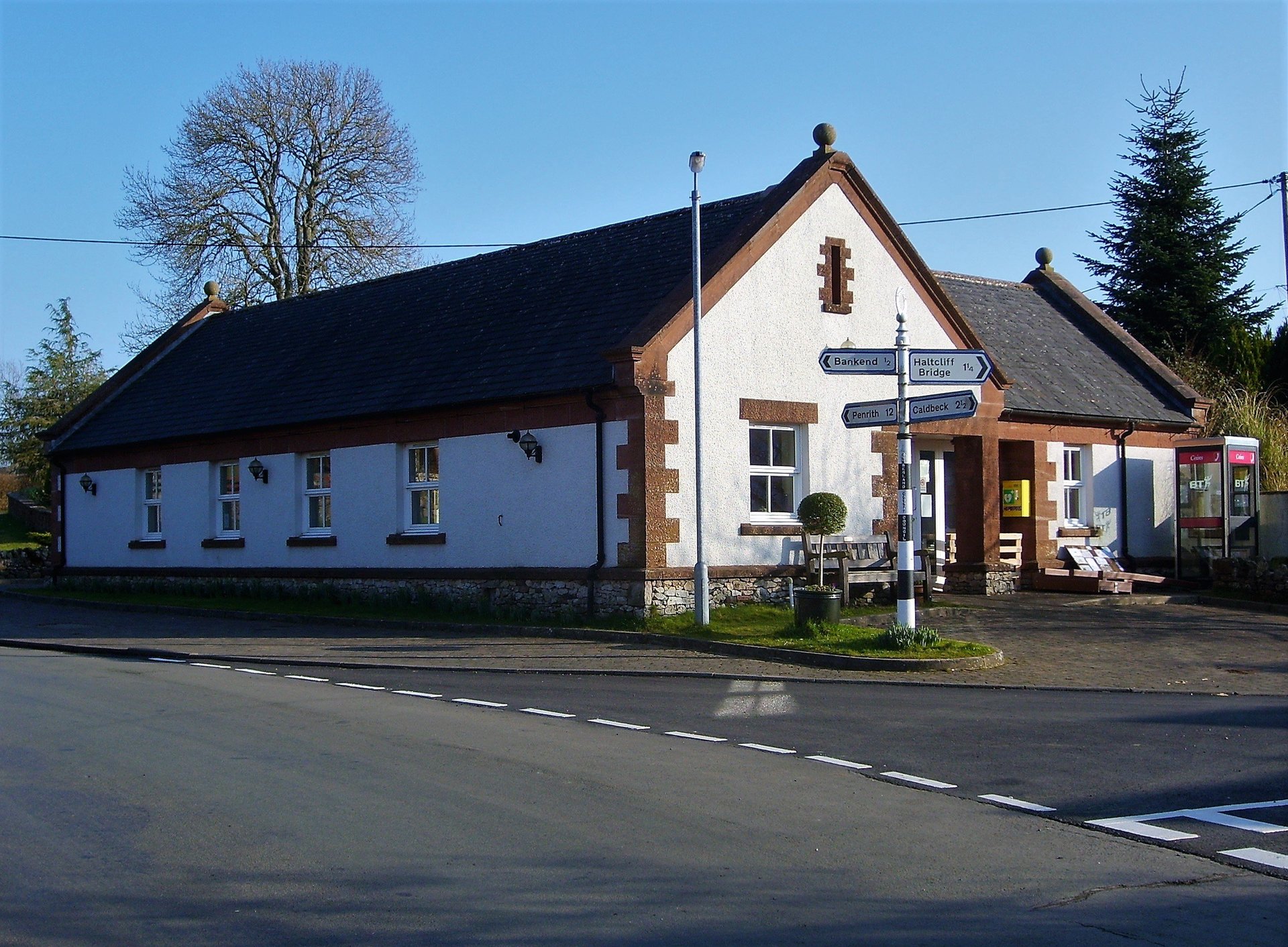
The MAIN HUB hamlet and meeting place of CASTLE SOWERBY Parish
Location
MILLHOUSE
is located just outside the north eastern border of the Lake District National Park.
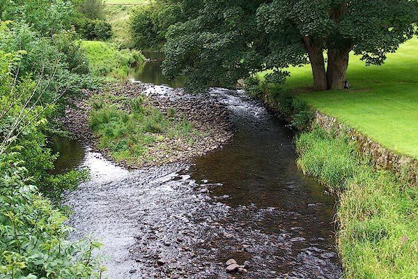
The River Caldew and the Gillcambon Beck
The River Caldew and Gillcambon Beck flow close by MILLHOUSE,
which form the Lake District National Park Border.
Walkers Paradise
The nearby Northern Fells provide unique walking oppertunities of unrivalled scenic solitude.
Welcome to the MILLHOUSE
website
This frequently updated, enhanced, (tablet & mobile friendly) quite unique, informal website is designed to keep you and your neighbors informed with MILLHOUSE' s
past, present, and achievable future welfare proposals to paramountly safeguard our precious residents.
For the sake of the inhabitant's future welfare and the crucial sustainability of property value/demand, this website has gone to great lengths to demonstrate in detail how the village of MILLHOUSE
has been inadvertently reintroduced to regular flooding from the river Caldew, undoubtedly caused by rapid multiplying stacking behind the low capacity bridge, inflamed by inadvertent significant man made changes on the west bank in 2003.
This website uniquely demonstrates via an intricate photo Survey, the recently reintroduced flooding phenomenon to MILLHOUSE
:
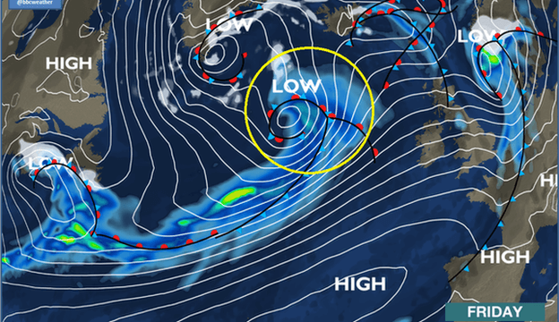
The quite unique photo survey was carried out soon after the storm Desmond flooding event, with the full intentions of it being a vital aid to provide realistic information to the Environment Agency, to enable a necessary fast-trac remedial plan to be promptly put in to action.
To date, NO such (credible) plan has been instigated.
The reintroduced flooding routine is completely reversible, with a very logical common sense credible
rectification to the inadvertent man made changes.
The reintroduced flooding routine commenced in 2005, after a break of more than 40 years. MILLHOUSE
enjoyed a blissful Holiday from river orientated flooding, onwards from the completion of the long awaited construction of the village flood defense bank in the 1960's. It was during this period of 40 years when most of the recent flood victim residents of
MILLHOUSE
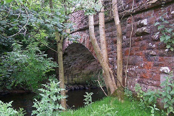
bought their homes at a then sustainable market value. The January 2005 flood event was a rude awakening, when unprecedented stacking was experienced behind the 110 year old single arch low capacity bridge, (Funnel/Dam).
3 more repetition flooding events have since occurred, undoubtably due to the incapability of the low capacity bridge, now deprived of its overflow bypass by the 2003 man made changes:
November 2009,
June 2012,
and storm Desmond December 2015.
Until the recommended logical credible remedy is carried out to rectify the low capacity bridge, (now deprived of it's original overflow path) the vulnerable properties of MILLHOUSE
have an unsustainable flood resilience.
The realistic facts are that the vulnerable properties of
MILLHOUSE
will be flooded once again during the crescendo of the next extreme storm if no logical action is taken to rectify the serious problem of the low capacity bridge.
___________________
We do welcome you to offer your views about the 4 reintroduced flooding events within the space of a decade which MILLHOUSE
has endured since 2005.
(a) Is this phenomenon of 4 repetitive flooding events, and the 2003 blockage of the bridge overflow path just coincidence?
(b) Can global warming be to blame for the 4 flooding events?
(c) Are extreme storms more severe than they used to be?
(d) Is the capacity of the MILLHOUSE
single arch bridge realistically
large enough for the river Caldew in full spate during an extreme storm?
(e) Has the repetitive flooding phenomenon increased or decreased the value and demand of properties in MILLHOUSE
and the associated community post code?
(f) Are you willing to offer support towards a united front to push for a logical common sense remedy to get the repetitive flooding phenomenon rectified permanently?
(g) Are you willing to just sit back & take your chances that it may not happen again?
(h) Would you like the property values/demand in MILLHOUSE
to become more sustainable?
If there is any individual who is critical of the presentation of the flood oriented pages of this website, please we do welcome them to compile an alternative presentation (in detail) demonstrating a different credible opinion of how MILLHOUSE
flooded during the crescendo of storm Desmond, and also include the 3 major flooding events prior to Storm Desmond.
But do please remember that the entire dialogue and unique flood aftermath images on this website are protected strictly by copyright.